Military Road’s modern alignment through the City of Buffalo and Town of Tonawanda
Military Road is a part of NYS Route 265, a 19.75 mile long state road that runs between Niagara Falls and Buffalo. The portions called Military Road are located in the City of Buffalo/Town of Tonawanda and then again in Niagara Falls, NY. The road dates back to 1801, when it was laid out as a road to connect Black Rock with Fort Niagara, near Lake Ontario. The route begins at the intersection of Niagara Street and the Scajaquada Expressway. It runs along Tonawanda Street through Black Rock, Amherst Street, then turns into Military Road where it runs for 4.3 miles until the City of Tonawanda border. In the City of Tonawanda it is Main Street, in North Tonawanda it is River Road, in Niagara Falls it is Buffalo Ave before it turns back into Military Road through most of Niagara Falls where it ends at a junction with NY 104 (Lewiston Road) in Lewiston. From Lewiston to Youngstown, the River Road that ran up to the Fort was already built, so that was used to connect the Military built road to Fort Niagara.

Historic Map showing the route of Military Road Source: Buffalo History Gazette
Military Road was one of the first roads in the country planned for military purposes. Roads for defense have been around for a long time and are still around in modern times – much of the United States Highway System was built as the “Dwight D. Eisenhower National System of Interstate and Defense Highways”, designed for defense and modeled partly after the German Autobahn network that Eisenhower saw in Germany during WWII. After the Revolutionary War, the federal government realized they needed a highway extending from the town of the Lewiston Escarpment to the bluff at Black Rock. At the time, they were planning a large fort on the Black Rock bluff to guard the entrance to the Niagara River. Most of WNY’s roads at the time were based on Native American trails and the trails of the earliest settlers. These trails typically took the path of least resistance, to avoid things like creeks, marshes, or heavily wooded areas. The highway would replace the old Portage Road, which was too winding, as it followed closely to the course of the river, rather than in a more direct line. The Historic Map shows both the routes of the Military Road, which has a smoother path than the Portage route, which curves further to the west towards the Falls.
After the Revolutionary War, there were boundary disputes between New York and Massachusetts. An agreement signed in Hartford, Connecticut in 1786 deeded the land once occupied by the Haudenosaunee to New York State, but Massachusetts maintained that they had a right to the area west of Seneca Lake once the Native American title was extinguished, except for a one-mile strip, which New York State reserved for itself. The strip ran one mile inland along the Niagara River, from Buffalo to Stedman’s Farm (also known as Fort Schlosser, near where the water intakes are currently located along the Niagara Scenic Parkway/Robert Moses Parkway in Niagara Falls). Despite the State’s reservation of the parcel, the Seneca maintained that they retained the title to the Mile Strip, which was affirmed in the 1794 Pickering Treaty. Massachusetts sold the rights to the surveyed portion of the land to Robert Morris in 1791. Keeping a portion of the land for his own purposes, Robert Morris sold the rest of the land (which the exception of Grand Island and the Mile Strip) to the Holland Land Company, the company which Joseph Ellicott was the land agent. You can read more about Joseph Ellicott and the Holland Land Company by clicking these links for Part One, Part Two and Part Three. In 1798, Seth Pease surveyed the Mile Line for the Holland Land Company. In 1802, the Seneca claim to the Mile Strip was extinguished by a treaty signed in Albany. There had been little settlement in the area by the Seneca, only two Seneca families lived there year-round. The treaty was initiated because the government wanted to construct a fort at Black Rock (also known as Upper Black Rock). In 1803, the Deputy State Surveyor, Joseph Annin began to survey the Mile Strip into lots. Fort Niagara was given 716 acres which were set aside for the Federal government. The Stedman’s Farm/Fort Schlosser farm lot was set aside at 680 acres. The Jones and Parrish tracts, which were each 640 acres, were also set aside and were given to Mr. Jones and Mr. Parrish who had been Haudenosaunee captives during the war. The Jones and Parrish lots were near the Scajaquada Creek. A total of 111 lots were laid out within the remainder of the Mile Strip, the majority of which were 160 acres in size, but due to the curve of the river, many were slightly larger. One square mile was set aside at the southern end for the Village of Black Rock. For more on the laying out of Black Rock, you can read about Peter Porter, the streets named after states, and the numbered streets.
In 1801, General Moses Porter, commander at Fort Niagara, was ordered by the War Department to use his troops to build the road. I was unable to find out if General Porter was related to Mr. Porter of Black Rock during my research. They called the road Military Road because it was built by the soldiers. Between 1802 and 1805, the right of way for the road was cleared. At the time, road building typically consisted of cutting trees and brush wide enough to bring an oxcart. Military Road was built in a strip 100-feet wide. Marshy areas were made passable by laying logs down, which was often referred to as a “corduroy road”. It was a tough task, as the road was built through forests and over swamp lands to cut a straight path. Bridges were built in Tonawanda, but work was stopped and the road surface was not finished for seven years, due to disagreements between the State and the Federal Governments. In 1808-1809, New York State gave $1,500 (about $30,000 in 2018 dollars) to the project and the road was complete.
 The large fort planned for Black Rock was never built, but a smaller one was built in 1807 and became Fort Tompkins in August 1812. Fort Tompkins was also known as Fort Adams. The fort was actually large mounds which were mounting points for seven guns. It was technically a battery, which is a cluster of cannons in action as a group put into position during a battle of a fort or city. Fort Tompkins was the largest of eight batteries that were built during the war. It was located at the top of the bluff at the bend in Niagara Street. The escarpment here allowed them to overlook the river, giving advantages over the attacks from the water. The location was later the sight of railway barns. A plaque was hung on the railway barn and still hangs on the building located at 1010 Niagara Street. The more famous Fort Tompkins was located on Staten Island and was built in 1663. They were both likely named for Governor Daniel Tompkins, Governor of New York from 1807 to 1817. Fun fact for if you’re ever on Jeopardy: Daniel Tompkins was later President Monroe’s Vice President and the only VP in the 19th century to serve two full terms.

Historic Marker near Amherst Street and Military Road
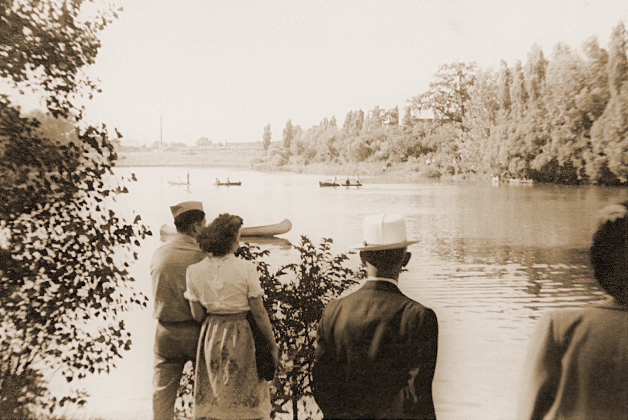
One of the only military uses of the road was during the War of 1812. American General McClure lost Fort George after a significant battle. General McClure then gave the notice to burn Fort George and the Village of Newark (now Niagara on the Lake) to deny shelter to the British. The Americans then retreated to Fort Niagara. The British reoccupied Fort George and planned an assault on Fort Niagara in retaliation for the burning of Newark. General McClure claimed he had acted on Secretary of War’s order in the burning of Newark. He had been told earlier in the year to destroy Newark if necessary but to give the residents several days notice to ensure they were not left destitute. McClure had only given two hours notice, leaving residents without shelter or possessions during a heavy snowstorm. This was against war conventions at the time. McClure’s superiors disavowed his orders and McClure never again held command.
On December 19th, 1813, more than 500 soldiers crossed the Niagara River at a location known as Five Mile Meadows. They turned towards Youngstown and the Americans were taken by surprise and the story goes that they obtained the password to get into the fort by using a fake southern accent. The British gained control of Fort Niagara and the British and their Native American allies marched upriver. With the American Army gone, there were only civilian militias left to defend their land. The British marched south, destroying farms and villages between Youngstown and Manchester (now Niagara Falls, NY). The second British raid happened a few weeks later, December 31, 1813, which burned as far south as Black Rock and Buffalo. General McClure retreated from Fort Niagara to Buffalo via Military Road after losing Fort Niagara.
The road fell into disuse and became overgrown, partly due to a debate between the state and federal governments as to who was supposed to maintain it. Sections of it were used by local farmers. Niagara County took over the road in 1820 and reconditioned it (at the time present day Erie County was part of Niagara County). By 1832, it was cleared and repaired and became a state highway.
The idea behind the road was to facilitate travel of troops and munitions of war from Lake Ontario to Lake Erie. Though the road was built for military function, it also helped to allow for commercial development of the area, with settlements occurring all along the Military Road.
In 1891, trolley service was extended along Military Road into the fledgling Village of Kenmore, allowing residents of Kenmore to arrive at the Military Road Station of the Belt Line, which would take them downtown for work.


Installation of the Boulder on Sheridan Drive, 1926. Source: Buffalo Courier Express
A boulder with a plaque honoring the Military Road was placed in Sheridan Drive by the Buffalo Chapter of the DAR in 1936. It was part of a celebration of the centennial of the Town of Tonawanda. The Centennial was held on exhibition grounds at the corner of Delaware Avenue and Sheridan Drive. The dedication occurred on what was referred to as “Pioneer Day”. New York State Historian, Dr. Alexander Flick, was on hand to give a speech and celebrate some of the oldest residents of Tonawanda. Between 1906 and 1936, the Town had grown from 2,000 residents to 30,000. Prizes were given to some of the residents including the oldest married couple present, the oldest school teacher present, and the oldest male and female present. Mrs. John Walters was unable to be present at the awards ceremony, but she had been a resident of Tonawanda for 93 years!
So the next time you drive along Military Road, think about the military history of WNY and remember the war fought right in our backyard, and the people who were determined enough to stay after their villages were burned to the ground.
Source:
- “Town Pioneers honor Guests and Centennial”. Buffalo Courier Express, July 3 1936. p8.
- “Military Highway Will be Scene of Ceremonies” Buffalo Courier Express. June 13, 1936, p13.
- Clinton Brown Architecture, pc. Reconnaissance Level Historic Resources Survey: Black Rock Planning Neighborhood. November 2010.
- History of Old Fort Niagara. https://www.oldfortniagara.org
- Lewis, Clarence. “Evolution of Roadways in County Linked with Important Historical Happenings”. Niagara Falls Gazette, July 29, 1954.
- Malloy, Jerry. “Why is it Called Military Road?” Buffalo History Gazette. August 8, 2010. http://www.buffalohistorygazette.net
- Percy, John & Graham Miller. Images of America: Kenmore, New York. Arcadia Publishing: Charleston, South Carolina, 1998.
 Helen Katherine Smith was born in Wilkes-Barre, Pennsylvania. She went professionally by H. Katherine Smith and was known as Kate to her friends. Miss Smith’s paternal grandfather was director and general manager of the original Gas Company in Wilkes-Barre and her maternal grandfather was a founder and director of the Wilkes-Barre Deposit and Savings Bank. The family noted that Miss Smith got her business sense and drive from her grandfathers and that if she ever got tired of writing, she’d have made a wonderful business executive. Miss Smith’s first writing was to write rhymes for greeting cards, which she would sell with her father’s help as a young girl, for 25 cents a card.
 In an interview after her retirement, Miss Smith said her favorite food was Italian eggplant (eggplant parmesan). She enjoyed cooking, but she didn’t like to bread the eggplant, because it’s too much work. A newspaper in Florida published her recipe for Italian eggplant, and I intend to add it to my repertoire. As those who know me know, eggplant parm is my favorite meal and a staple of my diet. I often will buy three eggplant at the farmer’s market and spend the afternoon breading them all at once and freeze the slices, because I also hate breading it too! I like to think Miss Smith and I would have been good friends. I can’t wait to sit around and chat with her in the great hereafter….imagine the two of us as a tag-team of interviewers! We’d be able to write-up some interesting stories for sure.


 Gill Alley runs between Breckenridge Street and Auburn Avenue in the Elmwood Village. Gill Alley is one of a common type of alley that exists in Buffalo, particularly around the West Side. These alleys give access to carriage houses and garages via the rear of the properties along the adjacent streets. Housing ads in the early parts of the 1900s used frontage along the alleys as a selling point for homes. Many of these carriage houses have now been converted into apartments.
 Mrs. Gill developed a large garden in the rear of her home. She was a member of Lafayette Avenue Presbyterian Church and a Vice President of the Crippled Children’s Guild. She lived for nearly thirty years in the home she had built for herself. She died in 1919 and is buried in Forest Lawn.
 Abbott Road is a road that starts in the City of Buffalo at an intersection of Bailey Avenue and South Park Avenue and runs to an intersection at Bayview Road/Armor Duells. Abbott Road is about 9 miles in length and runs through not only the City of Buffalo, but also the City of Lackawanna and the Town of Orchard Park. Abbott Road used to continue north across the Buffalo River towards the First Ward neighborhood, but that portion of the road was changed to
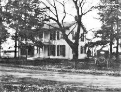
 Seth Abbott died on June 8, 1831 and is buried in Hillcrest Cemetery in Hamburg.
 Samuel Abbott died on October 2, 1846 and is buried in Deuel Cemetery in Orchard Park.
 Kimmel Avenue is a short street, running two blocks between Abbott Road and Cazenovia Creek in South Buffalo. The street is named after Christian Kimmel, an inventor.
 Mr. Kimmel owned much of the real estate on the street that now bears his name. In addition to real estate and politics, he enjoyed working in his yard and garden and was proud of his horses, which he’d drive around town on their carriage.
 Mr. Tracy married Harriet F. Tracy. Albert and Harriet had two sons – Albert Haller Tracy, Jr. and Francis W. Tracy. The Tracy family lived at the northeast corner of Court and Franklin Streets. Mr. Tracy died on September 19, 1859 and he is buried in Forest Lawn Cemetery. Harriet died in March 1876. Albert Jr died in 1874.
 Francis (Frank) married Mary Robinson in 1862 and they had a child named Harriet in 1867. Frank suffered from alcoholism and Mary divorced him in 1871, and was awarded custody of Harriet by the court. Frank then married Agnes Ethel in 1873. Agnes was a popular broadway actress of the time. Frank died in 1886 at the age of 47. Frank’s will was contested by Mary on behalf of Harriet, but Agnes was awarded all of Frank’s fortune.